
View of the golf course and river while climbing outfrom runway 22 at SZP.
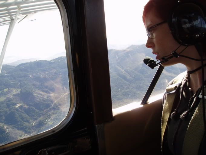
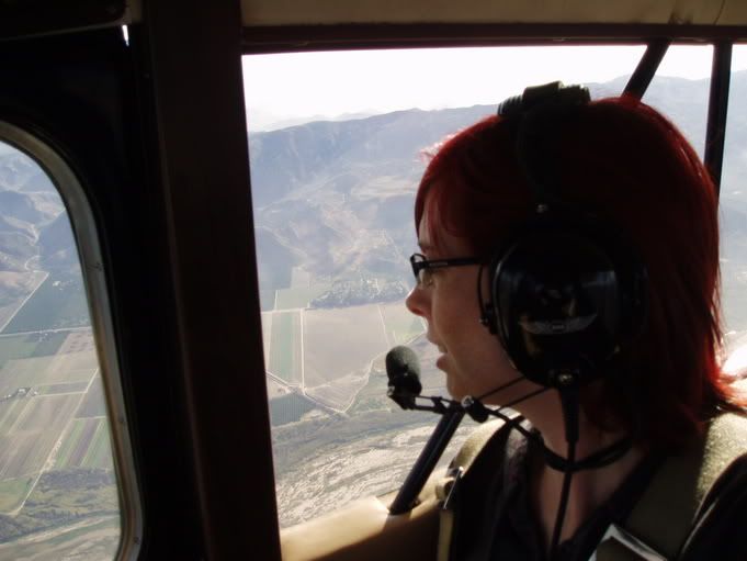
Juno looking at my mom's house.

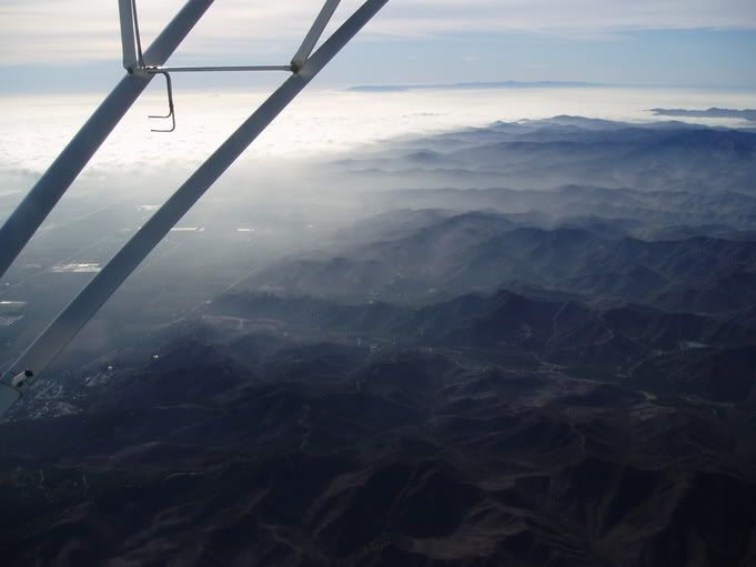
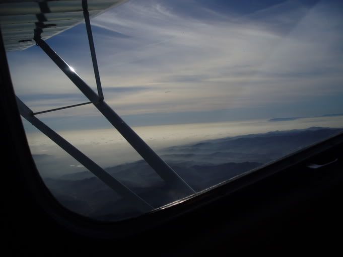
The south hills of the Ojai Valley and clouds as far as the eye can see beyond them. Underneath those clouds is the city of Ventura and Oxnard, and then the Pacific Ocean. SZP is inland just enough, and is protected by a mountain range such that the coastal weather usually doesn't stop make it to the airport even when CMA, OXR, and SBA are socked in as seen here.
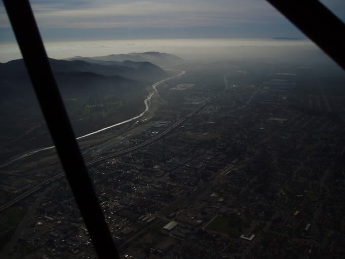
Looking towards Santa Barbara, we see Ventura in the foreground, and one of the Channel Islands peeking through the clouds in the distance.
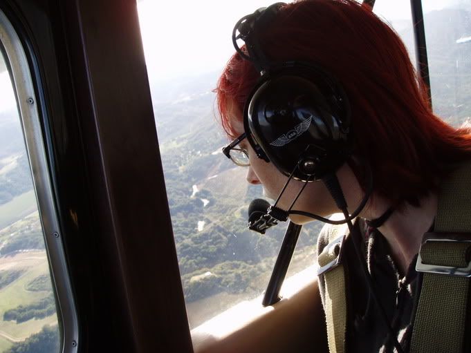
Here Juno is flying in the Santa Paula aerobatic practice area.
The city of Santa Paula, the airport, and farmland are visible here.
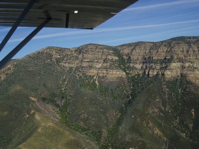
We flew right up to TopaTopa Mountain, Ojai's famous rock face that overlooks the Ojai Valley. TopaTopa creates spectacular sunsets in Ojai's famous "Pink Moment" where the valley has gone dark yet the 6,600 foot mountain is glowing brilliantly red reflecting the sunset.

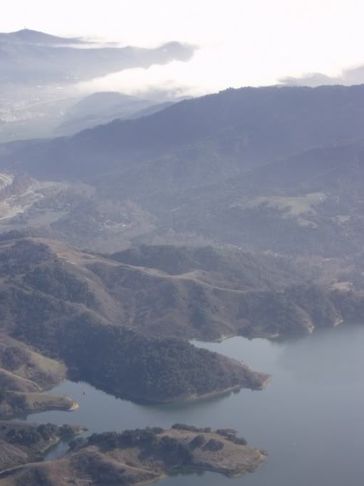
Here we are flying over Lake Casitas.
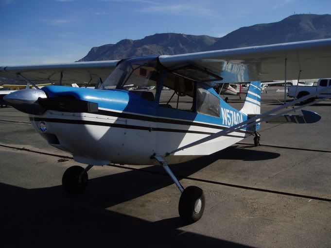
This is a Bellanca era 7ECA N57404
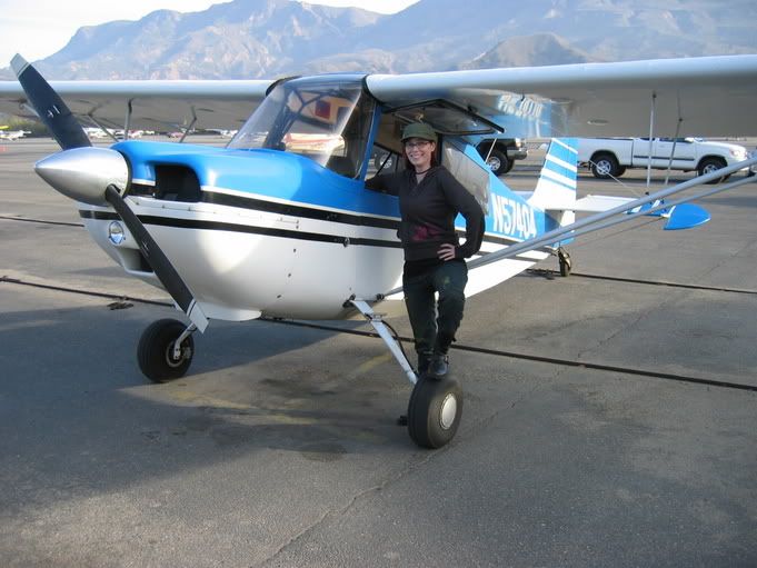
Juno the Aviator!
S!
TX-EcoDragon
Black 1
TX-Squadron XO
